Research investigates regional variations in rock mass characteristics for predictive modeling of earthquake-induced landslides in the Topatopa mountains near Ventura, CA
Nov 23, 2021

Caption: UAV image of Nordhoff Ridge, CA study location.
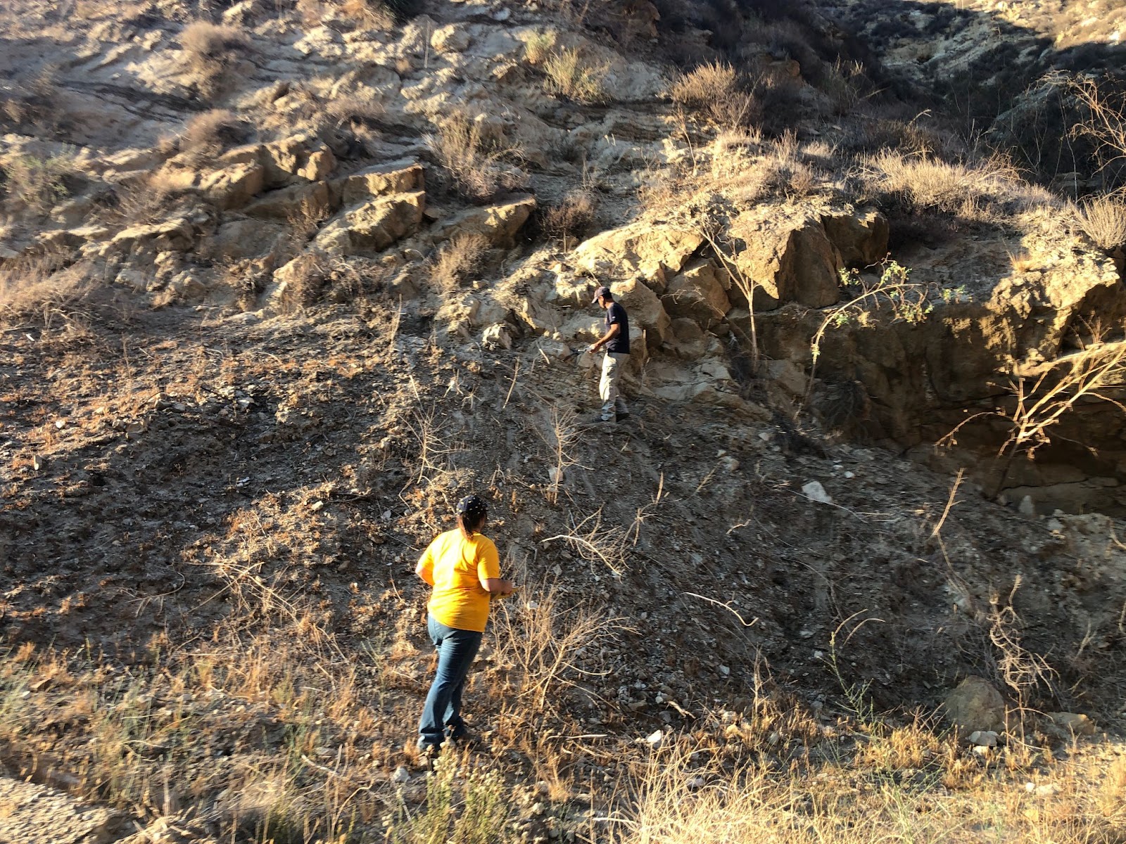
In August 2021, a UC Berkeley GeoSystems Team consisting of Professor Dimitrios Zekkos, Ph.D. student Brittany Russo, and Ph.D. student Parker Blunts traveled to the Topatopa Mountains in the Transverse Mountains of Southern California for fieldwork. The work is part of an ongoing project funded by the National Earthquake Hazard Reduction Program (NEHRP). This work was performed in conjunction with collaborator Professor Marin Clark, from the University of Michigan’s Earth and Environmental Sciences Department.
While these mountains have been extensively studied and modeled in relation to earthquake hazards given the high population in adjacent areas (Los Angeles County), the variability of rock strength is still a poorly constrained factor in regional earthquake models. The objective of this deployment was to characterize variability in rock mass characteristics for different geologic strata and interbedding within strata.
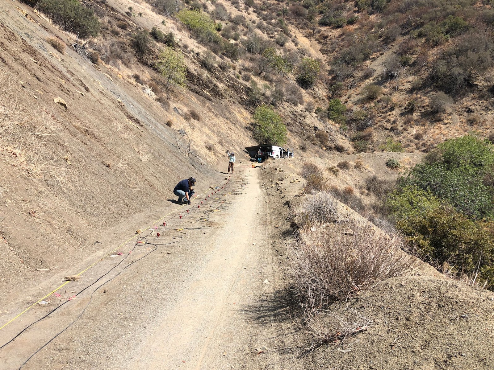
The team utilized non-invasive geophysical methods such as Electrical Resistivity Tomography (ERT), Multichannel Analysis of Surface Waves (MASW), and Electromagnetic Induction (EMI), at sites strategically chosen to gain an understanding of the geospatial variability of weathered rock masses. Samples were collected for laboratory testing to assess micro-scale and geophysical properties in order to characterize rock strength. The study is intended to better constrain predictive landslide modeling for the Ventura/Pitas Point fault rupture earthquake scenario with implications that could affect millions of people in the nearby Los Angeles basin.


